News
For Media Inquiries please fill out this form.
CloudTAK Route Snapping Feature
February 18th, 2026
COTAK Program Team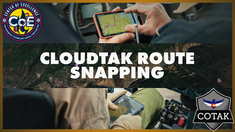
Route snapping in CloudTAK makes route creation faster and more accurate by automatically aligning user-drawn routes to existing roads and trails in the map dataset. Instead of manually drawing paths, users can create clean, navigable routes that follow real-world infrastructure, which is especially useful for mission planning, navigation, and coordination in the field. This feature relies on underlying road and trail data (such as OpenStreetMap).
The accompanying video demonstrates how to enable route snapping in CloudTAK, when to use it, and practical considerations for working with snapped routes during operational planning and shared situational awareness workflows.


