Online Aircraft Tracking
COTAK utilizes a technology called ADS-B to track the locations of public safety-related aircraft. This technology is federally mandated for all aircraft to use in controlled airspace, and provides up-to-the-second tracking of aircraft when they are in view of ground tracking stations.
COTAK has partnered with ADS-B Exchange to utilize their data feed of real-time aircraft locations. Every 10 seconds ADS-B Exchange provides the locations of all aircraft over Colorado to COTAK. A process then filters out all non-public safety aircraft, and passes only the locations of public safety-related aircraft into the “Aircraft Tracking” channel in COTAK, which is available to all COTAK users.
Note that an aircraft only will show up in this feed if at least one ADS-B Exchange ground station is receiving the ADS-B signal of the aircraft. If you wish to improve the aircraft tracking coverage in your jurisdiction you may set up your own ADS-B Exchange ground station, and by doing so you will improve the aircraft tracking coverage for COTAK in your area.
Local Aircraft Tracking
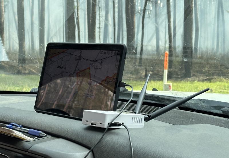
It is also possible to deploy a USB-powered aircraft tracking sensor at the scene of a public safety incident to gain situational awareness on all aircraft locations in the immediate area. This type of local sensor works with the TAK apps regardless of whether you have cell service or an internet connection.
The CoE (the team building COTAK) has partnered with Sensors & Signals LLC to create and sustain this capability, called AirTAK. The software required to create an AirTAK device is open source, and is deployed on a small Linux computer such as a Raspberry Pi. Alternatively a prebuilt hardware kit preconfigured with the software is available for purchase from Sensors & Signals.
Live Cameras
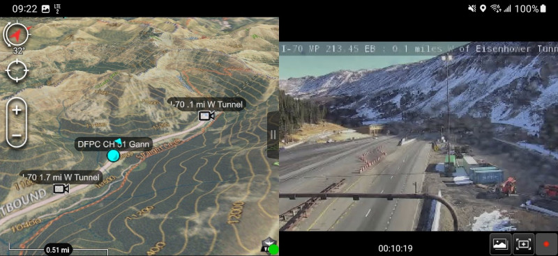
The COTAK team has assembled a layer of 800 live video cameras located within the State of Colorado, which are currently visible in the Android and Windows flavors of TAK. To download this layer COTAK users should turn the "z_Initial Setup" channel on in COTAK, then open the Data Packages tool, and select the download option. Select the data package titled "CDOT Cameras" and download it. The cameras will appear on the map, and when tapped on the live video can be viewed.
Miscellaneous Data Layers
Many types of geospatial data can downloaded and displayed in the TAK apps. The COTAK Server can host these datasets and share them with designated TAK channels.
The COTAK project team has assembled several datasets that are useful statewide. These are shared in the "z_Initial Setup" channel, to access them turn the channel on, then open the data packages tool in the TAK app and search the COTAK Server. Some data packages hosted on the z_Initial Setup channel include:
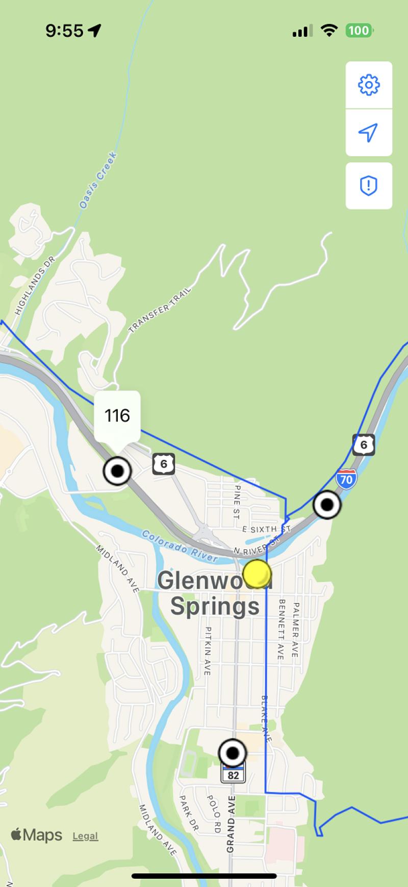
- County & municipal boundaries
- Mileposts on interstates and highways
- Critical infrastructure
- Elevation data, which allows ATAK and WinTAK users to view maps in 3D and calculate line-of-sight


