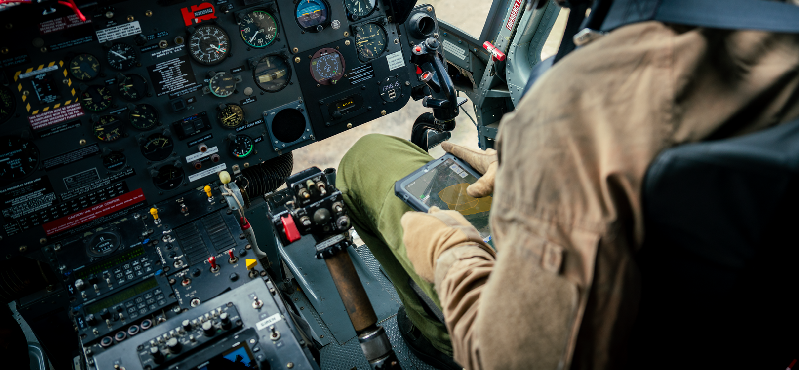
iTAK Training Videos

Information on how to download iTAK, set it up, and connect to the COTAK Server and turn on a channel for communication

Information on how to use and interpret the map in iTAK, and how to operate commonly used tools
In this tutorial we cover how to create and share data packages in iTAK via the server and contacts tool.
In this tutorial we cover how to subscribe and create data feeds using the Data Sync tool in iTAK.
In this quick video we discuss how to import KML's into iTAK. As of spring 2024, iTAK does not support the sharing of KML files through Data Sync feeds. In the mean time use the layers tool to quickly import KML files.
In this video we cover how to download and import GeoPDFs from the USGS and IAPs into iTAK, ATAK, and WinTAK.
In this video we cover how to import custom map sources and create custom downloaded maps. Please note that in order to download a map in iTAK you must use a custom map source. You may access two USGS map sources from cotak.gov website.
In this video we showcase how to set up AirTAK devices. This workflow requires AirTAK hardware, available here: https://www.snstac.com/airtak