Situational Awareness

Safety

Team Coordination

0
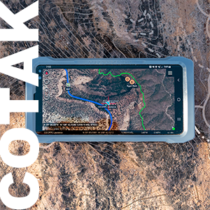
COTAK USERS
Users include law enforcement, firefighters, search and rescue, and other public safety agencies.
0
ACTIVE AGENCIES
COTAK serves public safety agencies of varying sizes based in Colorado.
0
COTAK CHANNELS
Channels are used to customize the information needs of agencies displayed on the COTAK application.
Real-Time Location Information at Your Fingertips
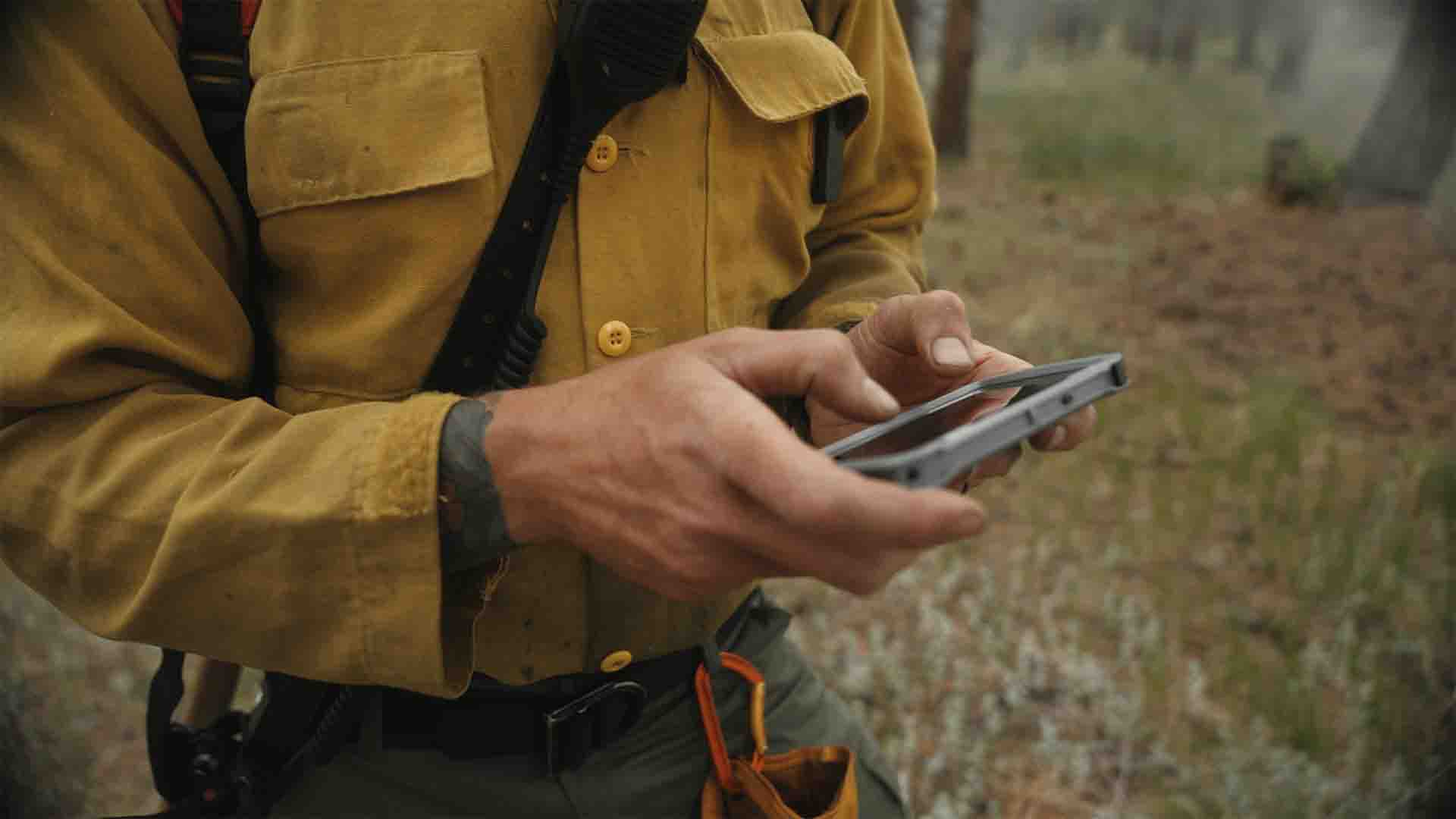
The Colorado Team Awareness Kit (COTAK) is a real-time location service available to all Colorado public safety agencies. By using COTAK, emergency responders can significantly enhance their situational awareness, safety, and team coordination.
Using dots on a map, COTAK users can locate themselves, their team members, and other enrolled agency personnel in real-time. In addition, COTAK provides advanced features that can be customized to meet the specific needs of fire, law enforcement, search and rescue, and other public safety agencies.
COTAK is available free of charge to all Colorado public safety agencies. Join us in deploying the future of public safety, and sign up for COTAK now.
LEARN MORETRUSTED BY COLORADO RESPONDERS


COTAK News
Passkey Support in COTAK
Remembering your COTAK password and syncing it across your devices can be a challenge, but a new technology called passkeys can help! A passkey provides a different approach to security, by creating a ‘fingerprint’ specific to an individual device like a phone or laptop. You unlock this ‘fingerprint’ using your Face ID, your PIN, or your literal fingerprint, and the passkey then allows you to access the protected site. Passkeys improve security against phishing attacks and eliminate annoying two-factor authentication requests.
The COTAK program has deployed passkeys to log into our cotak.gov website and to access CloudTAK. The requirement to have a password as part of your COTAK account is not going away, since the mobile apps still require users to enter a username and password, but only once per year.
To set up a passkey in cotak.gov log in as normal, then click on your initials in the top right corner of the page and then “profile.” A new option under your profile is now available called “Manage Passkeys” and allows you to make a new passkey for each computer or phone you need to use. In CloudTAK similarly log in normally, then click on “Settings” and the “Login Passkeys” option. Click the + button to set up a new passkey for each computer or phone you need. Once a passkey has been set up you should never have to enter your COTAK password again on that device.
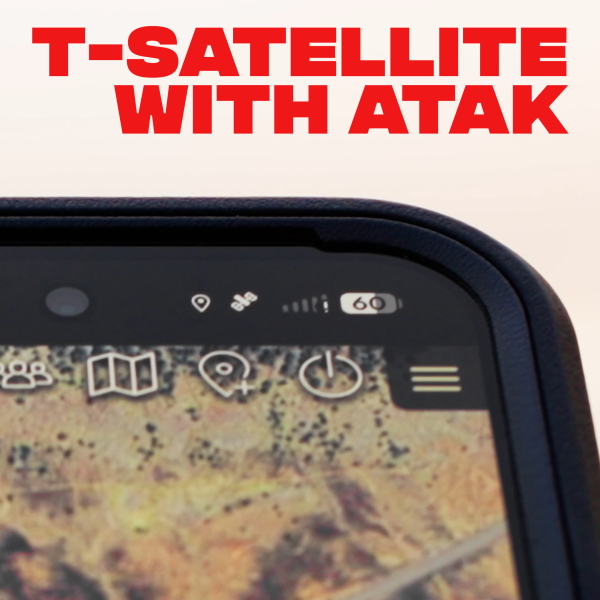
T-Satellite with ATAK
The COTAK team is frequently asked how users can use the apps to communicate in remote areas of Colorado, where cell service is spotty or nonexistent. A significant new option for these situations is cellular capabilities that enable smartphones to communicate directly with satellites overhead.
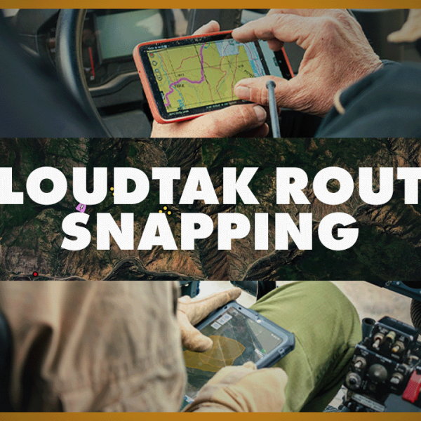
CloudTAK Route Snapping Feature
Route snapping in CloudTAK makes route creation faster and more accurate by automatically aligning user-drawn routes to existing roads and trails in the map dataset. Instead of manually drawing paths, users can create clean, navigable routes that follow real-world infrastructure, which is especially useful for mission planning, navigation, and coordination in the field. This feature relies on underlying road and trail data (such as OpenStreetMap).
The accompanying video demonstrates how to enable route snapping in CloudTAK, when to use it, and practical considerations for working with snapped routes during operational planning and shared situational awareness workflows.


