Location & Intelligence Sharing
Your agency's first responders must maintain situational awareness or risk their safety and effectiveness.
Oftentimes situational awareness requires an understanding of the location of the first responder themself,
the locations of other first responders, and other incident information such as the locations of 911 calls.
When on foot and away from vehicles, the standard method for communicating this information is to speak
location information over a two-way radio, which leaves substantial room for error and misunderstanding,
especially while under stress.
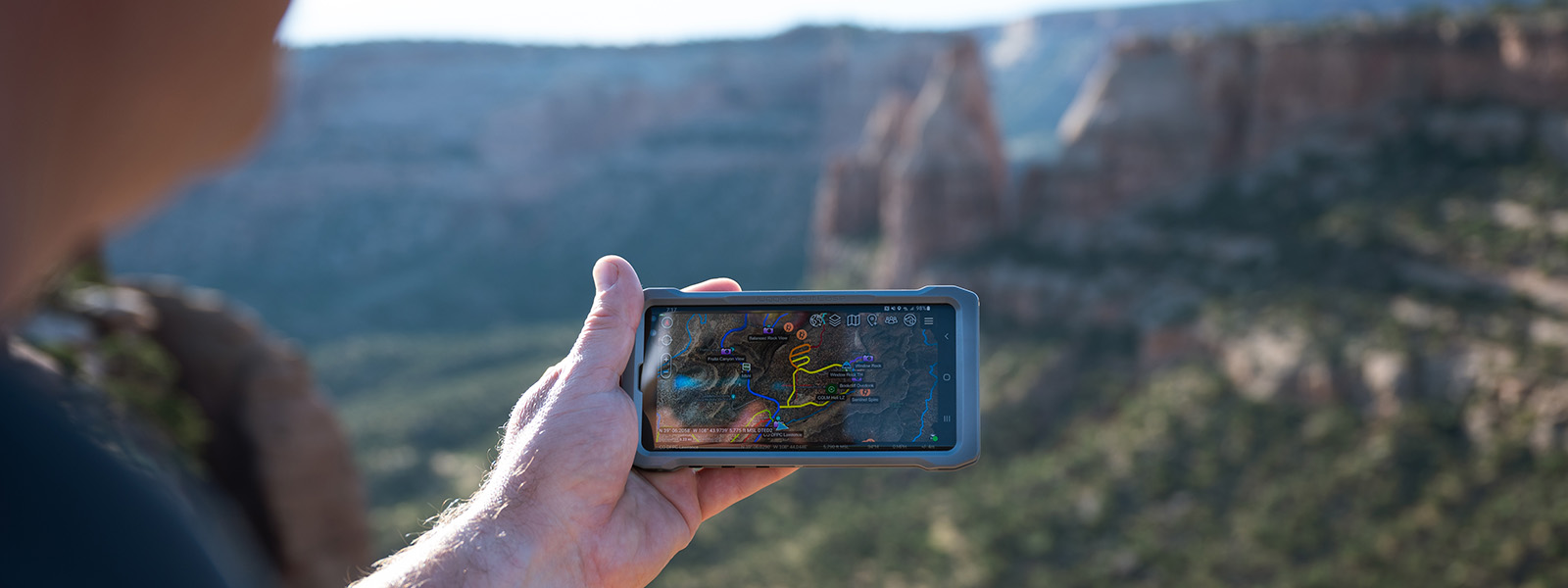
The COTAK system uses the federal government-owned Team Awareness Kit (TAK) apps to create a statewide, interoperable location services platform for public safety. The TAK apps use the GPS signal available from smartphones, tablets, and computers to locate first responders up-to-the-second, and cell service to share these locations with other first responders. The COTAK system can integrate with other sources of location data used by your agency such as CAD to create a common operating picture customized for your agency. By using COTAK you are also able to collaborate with first responders from other agencies across the state when their location information is critical to successful mutual aid.
The COTAK system uses the federal government-owned Team Awareness Kit (TAK) apps to create a statewide, interoperable location services platform for public safety. The TAK apps use the GPS signal available from smartphones, tablets, and computers to locate first responders up-to-the-second, and cell service to share these locations with other first responders. The COTAK system can integrate with other sources of location data used by your agency such as CAD to create a common operating picture customized for your agency. By using COTAK you are also able to collaborate with first responders from other agencies across the state when their location information is critical to successful mutual aid.


