Miscellaneous Data Layers
September 21st, 2026
COTAK Team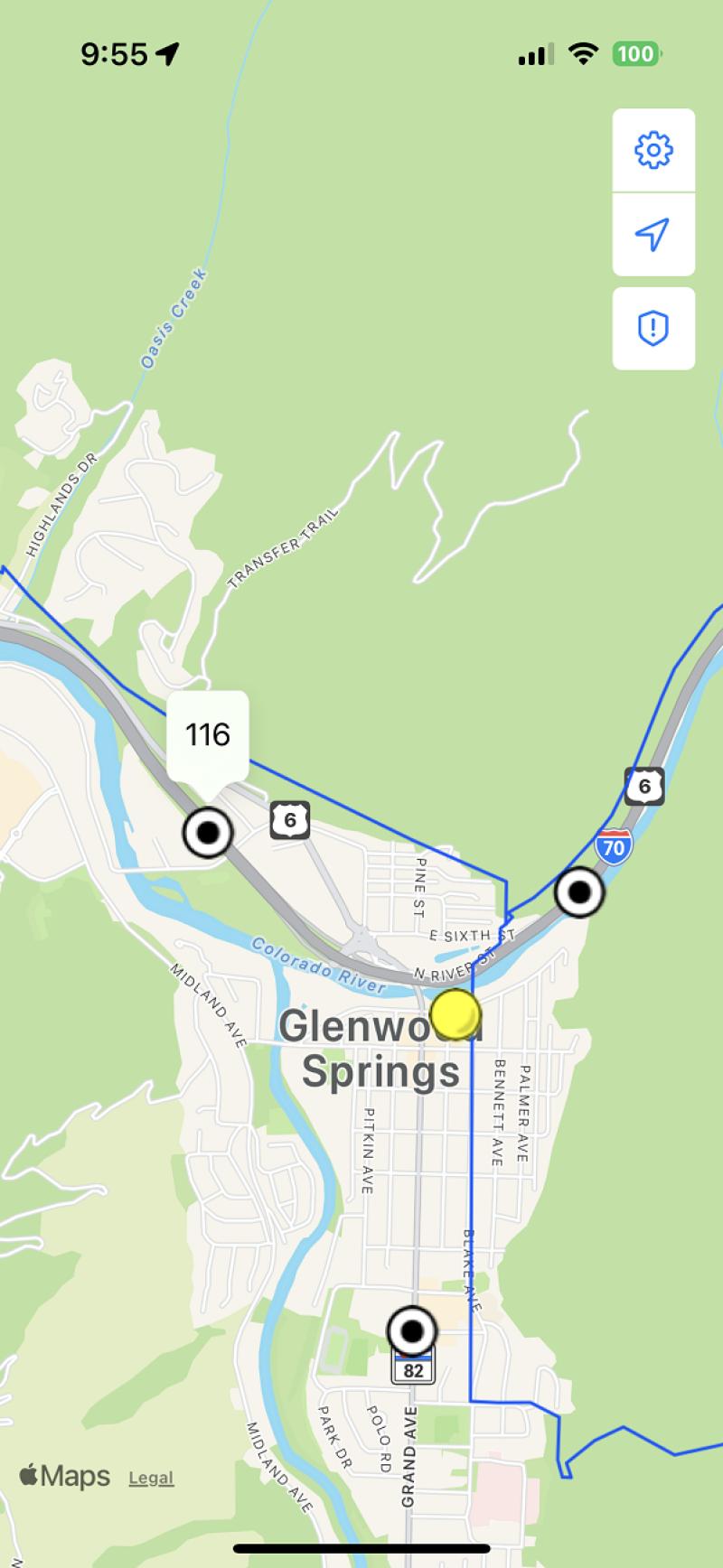
Many types of geospatial data can downloaded and displayed in the TAK apps. The COTAK Server can host these datasets and share them with designated TAK channels.
The COTAK project team has assembled several datasets that are useful statewide. These are shared in the "z_Initial Setup" channel, to access them turn the channel on, then open the data packages tool in the TAK app and search the COTAK Server. Some data packages hosted on the z_Initial Setup channel include:
County & municipal boundaries
Mileposts on interstates and highways
Critical infrastructure
Elevation data, which allows ATAK and WinTAK users to view maps in 3D and calculate line-of-sight