Integrations
The TAK apps are standard issue across the U.S. Department
of Defense and federal government law enforcement agencies. TAK uses open standards to communicate,
and developers can develop their own plugins to integrate with TAK to accomplish specific or unique tasks.
As a result there are many different integrations available as part of TAK.
For example, drones can be integrated with TAK, either using the UAS tool plugin for the Android version of TAK (ATAK) or using commercial software such as DroneSense. These integrations allow all your first responders to see the real-time location of the drone on the map in TAK, as well as live video from the drone. Further, maps created by drone imagery can also be loaded into TAK for a near real time map layer.
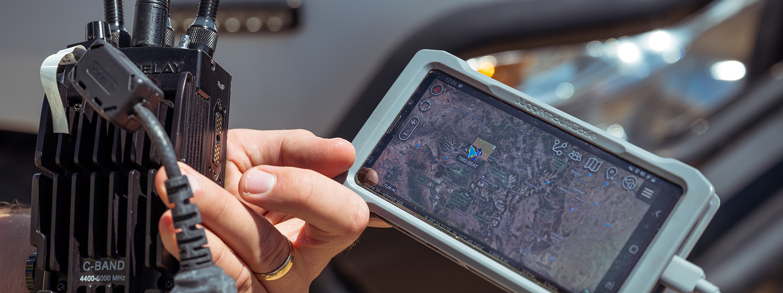
TAK offers several options to allow first responders to communicate with each other “off grid” in areas lacking cellular service. Mesh networking radios can be issued to each responder using TAK, and allow responders to view each other’s locations and interact with each other by digitally communicating over a radio mesh. Satellite trackers (InReach, SPOT, etc) from several manufacturers can be integrated with TAK, allowing responders in areas with internet access to view the locations of even extremely remote personnel.
A variety of sensors integrate with TAK to provide first responders with additional information. Real-time aircraft tracking of public safety aircraft across Colorado is available as part of COTAK, and responders can set up their own sensors to view nearby aircraft, even in off grid areas. Laser rangefinders allow responders to remotely mark the locations of suspicious items, and instantly share those locations with all responders on scene. Many other CBRN, counter UAS, and camera systems can be integrated with TAK to provide a full common operating picture to first responders.